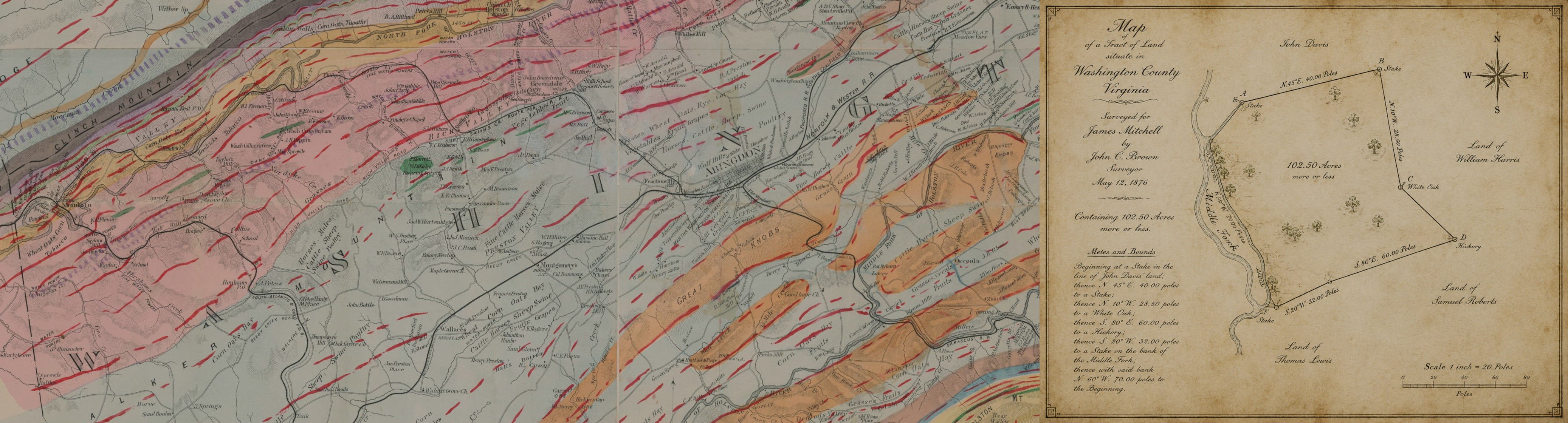

Historical Deed & Grant Map
Washington, Russell, Scott, and Lee Counties, Virginia
Most of this database (well over 90% of records) covers colonial and 19th-century deeds and grants that describe land by metes and bounds against natural landmarks -- not by an address a modern map can look up directly. Every marker on this map carries a confidence tier explaining exactly how its location was determined, from an exact match against current county property records down to a single named creek or mountain that could not be independently confirmed.
Most records are not on this map at all. Records with no determinable location -- no named landmark in the description, or the source file could not be confidently assigned to one of these four counties -- are only searchable, not mappable. Use Search the Deed Database to browse those.